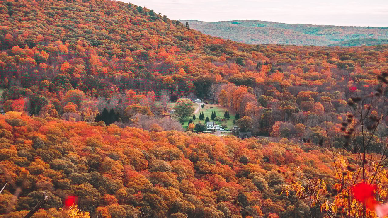
The Town of Kent describes itself as a rural community of about 3,000 residents in the northwest corner of Litchfield County, incorporated in 1739, with a history as a farming town and an iron ore producer, and made up of small hamlets such as Bulls Bridge, Kent Hollow, South Kent and The Cobble. Downtown sits at the crossing of Route 7 and Route 341, marked by the Civil War Soldiers Monument, and the town says most of the shops, galleries and restaurants there are owner operated. Town government is a three member Board of Selectmen with a full time First Selectman; the legislative body is the Town Meeting, held the third Thursday in January, with the budget meeting the third Friday in May.
Kent Center School at 9 Judd Avenue is the public K to 8 school, recently renovated according to the town, and part of Region One, which the district describes as the first regional school district in Connecticut, serving Falls Village, Cornwall, Kent, North Canaan, Salisbury and Sharon. Each town keeps its own K to 8 school and board of education; graduates go on to Housatonic Valley Regional High School in Falls Village, opened in 1939, with roughly 350 to 400 students. The town also lists three private preparatory schools: Kent School, founded in 1906 and now serving about 520 boarding and day students in grades 9 to 12; South Kent School on Bulls Bridge Road; and Marvelwood School.
The Assessor's office posts a current mill rate of 16.87, a last revaluation dated October 1, 2023, and the next scheduled for October 1, 2028. The state's Office of Policy and Management dataset agrees, listing Kent at 16.87 for the fiscal year ending 2026 and 15.59 for the year before, on the October 1, 2024 and October 1, 2023 grand lists. Connecticut assesses at 70 percent of market value as of the revaluation date, so a 2026 purchase price does not become the assessment. The Land Use office serves the Planning and Zoning Commission, the Inland Wetlands Commission, the Zoning Board of Appeals and an Architectural Review Board, and the town's 2022 to 2032 Plan of Conservation and Development, with its land use, zoning, open space and PA-490 maps, is posted on the town site. Kent also adopted a municipal affordable housing plan in 2022 under the state's 8-30j requirement. Building permits run through the Building Department's online portal.
The state park at 30 Lake Waramaug Road is, in the state's words, the only public access point on the 656 acre lake, with a car top launch, a 76 site campground and no state ramp for power boats; the page is quoted in Lake Waramaug State Park as the state describes it.
Sources for this section: Town of Kent, About Kent, Town Government, Mill Rate and Revaluation, Plan of Conservation and Development, Emery Park and Housing Plan Steering Committee pages. Region One Schools, History and Structure page. Kent Center School and Kent School websites. FirstLight, Bulls Bridge Generating Station and Bulls Bridge Recreation Area pages. Appalachian Trail Conservancy, Connecticut page. Connecticut State Parks, Kent Falls and Macedonia Brook pages. Figures are each body's own as published in September 2026 and change by year.
832,750 dollars for a one unit property. Kent is in the Northwest Hills Planning Region, and in Connecticut the Federal Housing Finance Agency sets the conforming loan limits by planning region rather than by county. The Candlewood Lake towns just south, New Milford among them, are in the Western Connecticut Planning Region at 977,500 dollars. That is a 144,750 dollar difference in how large a loan can be before it stops being conforming, and it is worth settling before you narrow a search across both. The two regions, side by side.
Kent shares Lake Waramaug with Washington and Warren, and Lake Waramaug State Park, which the state describes as the only public access on the lake, sits on the Kent and New Preston side. The lake has its own rulebook: no state boat launch, inspection of every motorboat at the Washington Town Ramp, and since April 2026 hot water decontamination for trailered boats. Lake Waramaug for a second home lays it out from the bodies that publish it.
Kent sits in Litchfield County rather than on Candlewood, but Connecticut transaction law does not change by town. These are the statewide rules that catch people out, whichever side of the county line the house is on.
1,987 people live in Kent, where the median age is 61.7 and the average individual income is $65,063. Data provided by the U.S. Census Bureau.
Total Population
Median Age
Population Density Population Density This is the number of people per square mile in a neighborhood.
Average individual Income
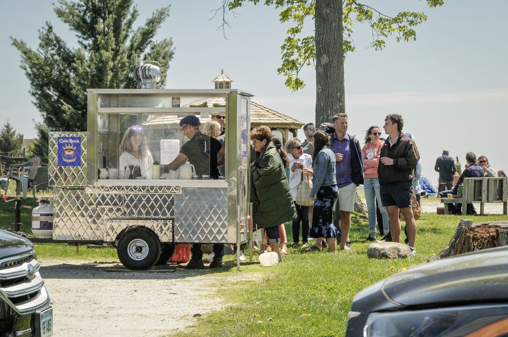
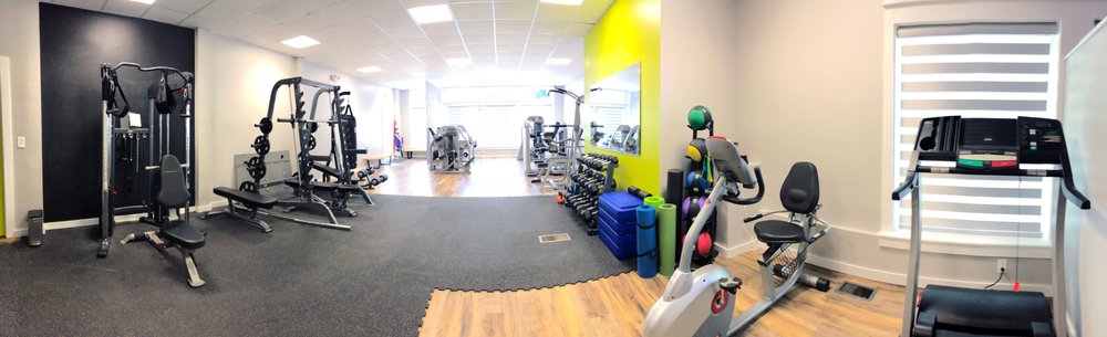
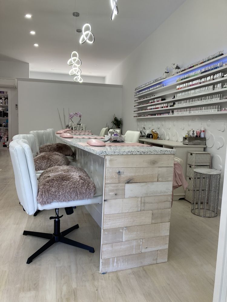
There's plenty to do around Kent, including shopping, dining, nightlife, parks, and more. Data provided by Walk Score and Yelp.
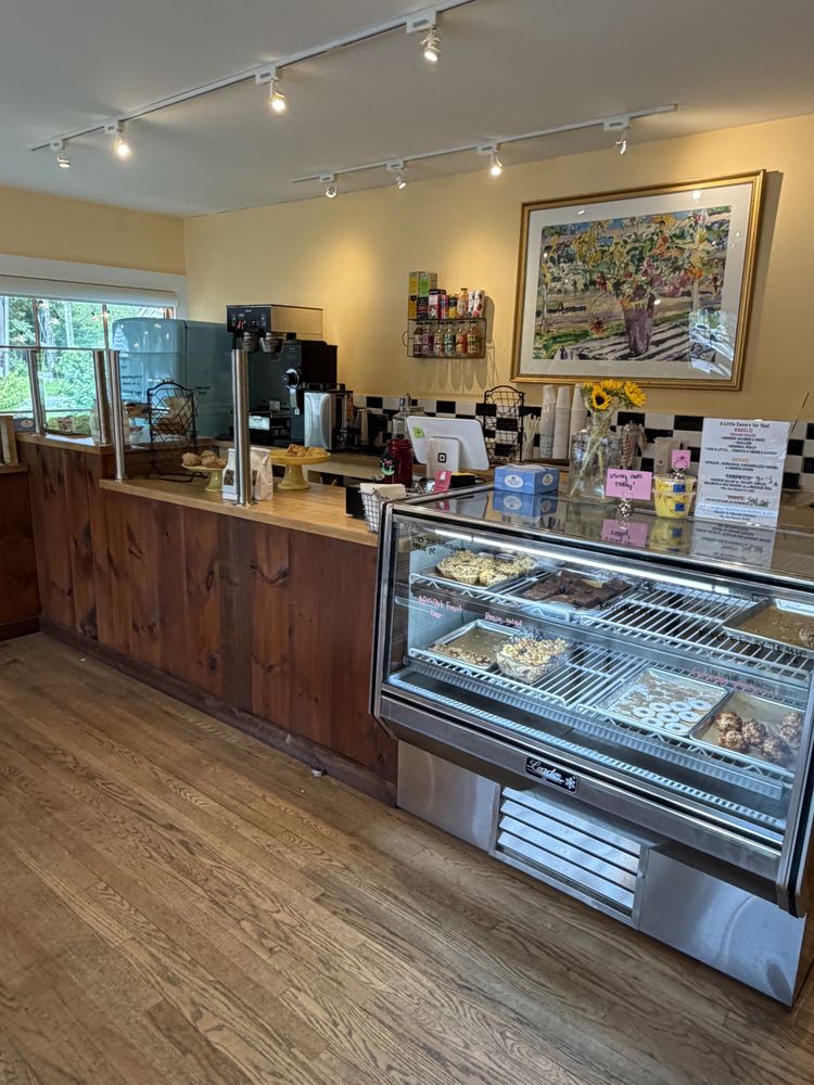
Explore popular things to do in the area, including SoDelicious HomeMade Bakery, 109 Cheese Market, and Davis Iga.
| Name | Category | Distance | Reviews |
Ratings by
Yelp
|
|---|---|---|---|---|
| Dining · $ | 0.82 miles | 34 reviews | 4.5/5 stars | |
| Dining · $$ | 0.86 miles | 22 reviews | 4.8/5 stars | |
| Dining · $$$ | 0.86 miles | 13 reviews | 4.5/5 stars | |
| Dining · $$ | 0.91 miles | 173 reviews | 3.8/5 stars | |
| Dining | 0.94 miles | 32 reviews | 4.2/5 stars | |
| Dining · $$ | 0.99 miles | 32 reviews | 3.5/5 stars | |
| Dining | 1.03 miles | 5 reviews | 3.4/5 stars | |
| Dining · $$ | 1.04 miles | 88 reviews | 3.8/5 stars | |
| Dining | 1.05 miles | 40 reviews | 3.7/5 stars | |
| Dining · $$ | 1.1 miles | 190 reviews | 4.3/5 stars | |
| Dining | 1.11 miles | 5 reviews | 4.2/5 stars | |
| Dining | 1.11 miles | 0 reviews | 0/5 stars | |
| Dining | 1.11 miles | 2 reviews | 3/5 stars | |
| Shopping | 0.97 miles | 0 reviews | 0/5 stars | |
| Shopping | 1.03 miles | 0 reviews | 0/5 stars | |
| Shopping | 1.09 miles | 2 reviews | 4.5/5 stars | |
| Active | 0.85 miles | 1 review | 5/5 stars | |
| Active | 0.96 miles | 1 review | 5/5 stars | |
| Active | 1.03 miles | 0 reviews | 0/5 stars | |
| Active | 1.04 miles | 1 review | 5/5 stars | |
| Active | 1.09 miles | 0 reviews | 0/5 stars | |
| Beauty | 0.85 miles | 15 reviews | 4.7/5 stars | |
| Beauty | 0.95 miles | 7 reviews | 4.3/5 stars | |
| Beauty | 1.04 miles | 8 reviews | 4.4/5 stars | |
|
|
||||
|
|
||||
|
|
||||
|
|
||||
|
|
||||
|
|
Kent has 960 households, with an average household size of 1.9. Data provided by the U.S. Census Bureau. Here’s what the people living in Kent do for work — and how long it takes them to get there. Data provided by the U.S. Census Bureau. 1,987 people call Kent home. The population density is 66 and the largest age group is Data provided by the U.S. Census Bureau.
Total Population
Population Density Population Density This is the number of people per square mile in a neighborhood.
Median Age
Men vs Women
Population by Age Group
0-9 Years
10-17 Years
18-24 Years
25-64 Years
65-74 Years
75+ Years
Education Level
Total Households
Average Household Size
Average individual Income
Households with Children
With Children:
Without Children:
Marital Status
Blue vs White Collar Workers
Blue Collar:
White Collar: