FirstLight's permits page names three Connecticut lakes in one breath: Candlewood, Lillinonah and Zoar. Buyers compare the first two constantly. The third one, the reservoir behind the Stevenson Dam that runs up the Housatonic from Monroe and Oxford to Southbury and Newtown, mostly gets left out of the conversation. It should not be, because it is under the same rulebook as Candlewood, it gets a fraction of the attention, and it carries one question the other two do not in the same way.
Every figure below is from the body that publishes it: FirstLight, the Lake Zoar Authority, and the Connecticut Department of Energy and Environmental Protection.
What Lake Zoar is
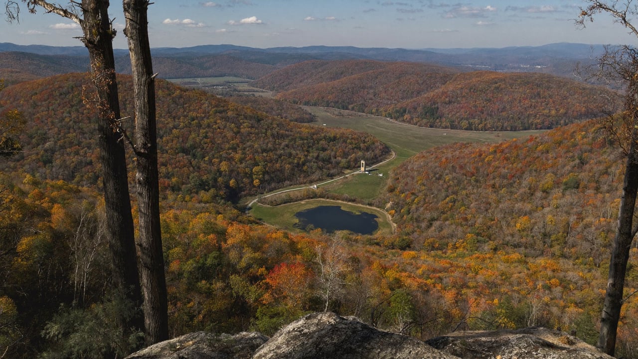
Lake Zoar is the impoundment behind the Stevenson Dam. FirstLight's own page on the station puts it plainly: "Located on the Housatonic River, Stevenson Dam creates Lake Zoar," and the station "has been supplying the region with more than 100,000 MWh of clean hydroelectricity each year since 1919." DEEP tells the other half of that story on its Kettletown State Park page: in 1919 the original village on that shore was submerged when the Housatonic was dammed to produce hydroelectric power, creating Lake Zoar.
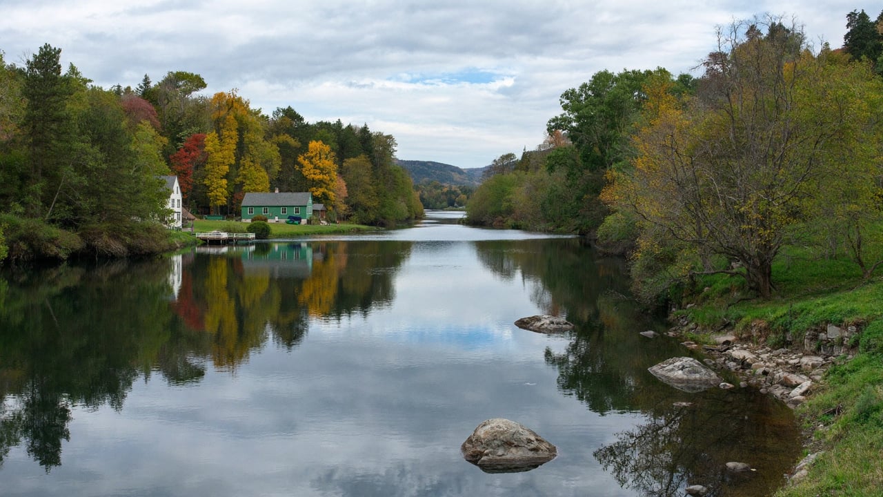
DEEP puts the lake at 909 acres and calls it the fifth largest freshwater body in the state. Four towns border it: Monroe, Newtown, Oxford and Southbury, which is why the Lake Zoar Authority is a four town body and why the tax bill, the school district and the land use office change as you move along the shore. The lake is long and river shaped, and above it, past the Shepaug Dam, is Lake Lillinonah.
The same FirstLight rulebook as Candlewood
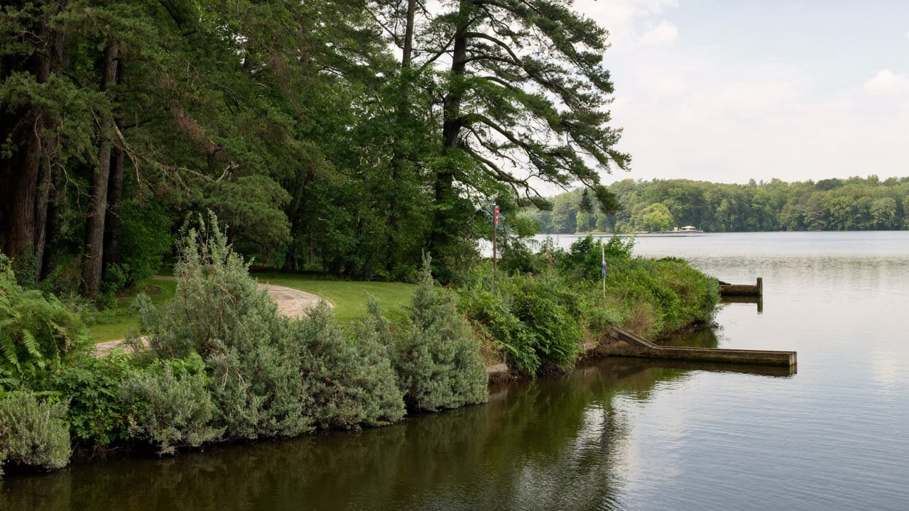
This is the part most buyers miss. FirstLight's Connecticut permits page addresses anyone who owns property "on Candlewood Lake, Lake Lillinonah, Lake Zoar, or along the Housatonic River north of Lake Lillinonah to the Massachusetts border" and sends all of them to the same handbook. If you have read who actually owns the shoreline on Candlewood Lake and your Candlewood dock permit does not come with the house, you have read the Zoar rules: the strip between your deed and the water sits inside a federal project boundary, structures in it need FirstLight authorization, and the permit is issued to the owner rather than running with the land.
The water level is managed too, though on a very different calendar from Candlewood. FirstLight's September 16, 2025 notice scheduled the Lake Zoar drawdown at the Stevenson Dam to begin October 18, 2025, taking the lake from a normal summer range of 103 to 100.5 feet down to a target of 98.5, with a return to normal operating levels on October 27, 2025. That is about nine days for dam inspection, not a winter. FirstLight still asks owners to remove structures, boat lifts and docks from the lake to prevent ice or flood damage over the winter, so the dock comes out either way. DEEP's launch page adds the general warning: the lake "is subject to seasonal and periodic water level fluctuations."
Boating rules, and the one that comes with a dam
The Lake Zoar Authority and DEEP both publish the speed limits: 45 mph in daytime and 25 mph from a half hour after sunset to a half hour before sunrise, enforced by radar by the Authority's marine patrol. State law adds slow, no wake speed within 100 feet of shore for boats and 200 feet for personal watercraft.
One rule that comes with a river reservoir is the dam exclusion. DEEP's regulations for the lake prohibit vessels from approaching within 300 feet on the upstream side, or 700 feet on the downstream side, of the Stevenson Dam. If you are looking at the southern end of the lake, know where that line is before you fall in love with a dock.
Water quality: read this before you buy on the water
This is the section that separates Zoar from the other two lakes, and it deserves plain language.
Kettletown State Park, the 605 acre state park on the lake's eastern shore in Southbury, lists "No swimming allowed" under its know before you go notes. The Lake Zoar Authority's water quality page says that beginning in 2020, Western Connecticut State University's Cyanobacteria Monitoring Program has included Lake Zoar in a weekly summer testing program, because that is when blooms are most likely, and that the towns and DEEP also test water at public beaches. The Authority also runs what it describes as an extensive program to control invasive weeds, treating the most infested areas with herbicide as funds allow, in coordination with FirstLight.
None of that means the lake is unusable. It means a Zoar buyer should ask specific questions that a Candlewood buyer usually does not: what the monitoring program reported for this stretch of shore over the last few summers, whether the frontage in question is in an area the weed program treats, and what the sellers actually do on the water in August. Ask the Authority, not the listing.
Public access
- The state boat launch at 210 Scout Road in Southbury: free, open year round, 60 parking spaces, a concrete ramp and a seasonal floating dock, according to DEEP. The Authority notes that parking is free at that location only.
- Kettletown State Park, 605 acres on the eastern shore, with over six miles of trails and a picnic area. DEEP reports that the park sustained flood damage in the August 2024 rainfall event, and that the campground and the Pomperaug, Crest and Brook trails are closed for the 2026 season with no reopening date set. Day use areas remain open.
- Paugussett State Forest, which FirstLight notes abuts the reservoir, and FirstLight's own Stevenson Recreation Area at 244 Roosevelt Drive in Monroe, a picnic area with a view of the dam.
How Zoar compares to Lillinonah and Candlewood
Same permits, same dock rules, same operator. Zoar's drawdown is a fall inspection window like Lillinonah's rather than Candlewood's five month winter. It is the smallest of the three at 909 acres, against about 1,900 for Lillinonah and 5,420 for Candlewood. It has a dam exclusion zone at the Stevenson Dam, and it is the one where the water quality conversation has to happen before the offer, not after. Candlewood, Lillinonah or Bantam sets the other lakes side by side; treat this as the missing fourth column. The Lake Lillinonah overview covers the lake directly upstream. Lake Lillinonah for a second home is the full piece on that lake.
Who Zoar fits
- A boater who wants a FirstLight lake without the Candlewood traffic, and who will read the water quality reports before buying.
- A buyer in the Route 34 or I-84 corridor who wants water access close to Monroe, Newtown, Oxford or Southbury rather than a longer drive to Candlewood.
- Not a buyer whose picture of lake life is swimming off the dock every August afternoon without checking that week's advisory.
What to confirm before you write
- Which town, and what that town charges. Four towns, four mill rates, four land use offices.
- Whether a current FirstLight permit exists in the seller's name for the dock and anything else below the project boundary, and a copy of it.
- Where the frontage sits relative to the dam exclusion zone and the no wake band.
- What the cyanobacteria monitoring reported for this part of the lake in recent summers, and whether the weed program treats it.
- What the lake looks like during the October drawdown, and where the dock and lift go for the winter.
One more FirstLight document from this year: its June 26, 2026 water safety statement says the company "launched a flood notification system for the communities downstream of the Stevenson Dam, which issues emergency notifications when flows exceed a certain threshold and flooding is possible," and warns that heavy rain "often brings high water levels and heightened river flows" on the Housatonic. The system serves the towns below the dam, not the lake above it, but it is the owner's own account of how this river reservoir behaves after a storm, and the state's page for Kettletown State Park, quoted in Kettletown State Park as the state describes it, records what the August 2024 storm did to the park.
Common questions about Lake Zoar
Is Lake Zoar under FirstLight's shoreline permit rules?
Yes. FirstLight's Connecticut permits page names Candlewood Lake, Lake Lillinonah and Lake Zoar together and sends owners on all three to the same handbook. Docks and other structures inside the project boundary need FirstLight authorization, and permits are issued to the owner.
When is the Lake Zoar drawdown?
In 2025 FirstLight scheduled it to begin October 18 at the Stevenson Dam, from a summer range of 103 to 100.5 feet to a target of 98.5, returning to normal on October 27. Dates change every year; FirstLight publishes the notice each September.
Can you swim in Lake Zoar?
Kettletown State Park lists no swimming allowed. Western Connecticut State University monitors the lake weekly for cyanobacteria in summer as part of a program that has included Zoar since 2020, and the towns and DEEP test at public beaches. Check the current advisory before swimming anywhere on the lake, and ask the Lake Zoar Authority about the stretch of shore you are considering.
How big is Lake Zoar?
DEEP lists the lake at 909 acres and describes it as the fifth largest freshwater body in Connecticut. It borders Monroe, Newtown, Oxford and Southbury.
What are the speed limits on Lake Zoar?
45 mph in daytime and 25 mph from a half hour after sunset to a half hour before sunrise, per DEEP and the Lake Zoar Authority, with slow, no wake speed within 100 feet of shore for boats and 200 feet for personal watercraft under state law. Vessels may not approach within 300 feet upstream or 700 feet downstream of the Stevenson Dam.
Sources: FirstLight, Stevenson Generating Station page (1919, output, "Stevenson Dam creates Lake Zoar"), Stevenson Recreation Area page (address, Kettletown, Paugussett), Connecticut permits page (the lakes covered), and the September 16, 2025 drawdown notice (dates, elevations, removal of docks). Lake Zoar Authority, About, Boating Facts, Visit Lake Zoar and Water Quality Monitoring pages (four towns, marine patrol, speed limits, no wake distances, free launch, WCSU cyanobacteria monitoring since 2020, weed control program). Connecticut DEEP, Lake Zoar Boat Launch page (909 acres, 210 Scout Road, 60 spaces, ramp, year round, speed limits, dam exclusion distances, water level note) and Kettletown State Park page (605 acres, eastern shore, fifth largest freshwater body, 1919 village, no swimming, 2026 campground closure).
Related reading: where Candlewood's weeds went, and when they come back, Candlewood Lake bass tournaments in 2025, the state's own count, Kettletown State Park as the state describes it, the state launches as printed in the 2026 Connecticut Boaters Guide, the four kinds of Candlewood waterfront, what changes in the proposed Candlewood shoreline plan, and what it actually costs to own a Candlewood lake house.
If you are weighing Zoar against Lillinonah or Candlewood and want the rulebook and the water quality picture laid out before you tour, reach me through ConnorCTHomes.com.
Connor Kostyra, Licensed Real Estate Salesperson, CT Lic. RES.0836348.
Connor CT Homes is a marketing brand. Real estate services are provided through RE/MAX Rise, 1297 Main Street, Watertown, CT 06795.
This article is general information about a hydroelectric reservoir, not legal advice and not a substitute for a survey, a title search or a conversation with the town land use office. Lake figures are the publishing bodies' own. Drawdown dates are from FirstLight's 2025 notice and change every year. Water quality conditions change week to week; check the current advisory before relying on anything here.