Lake Lillinonah is the FirstLight lake people buy on when they want Candlewood's rulebook without Candlewood's crowd. It is deeper, narrower, steeper and quieter, it sits under the same permit framework, and its water level comes back from the fall drawdown in about nine days rather than five months. It also carries two things a buyer needs to read about before touring, both of them posted by the state on its own launch pages this year.
Every figure below comes from the body that publishes it: the Lake Lillinonah Authority, the Connecticut Department of Energy and Environmental Protection, and FirstLight.
What Lake Lillinonah is
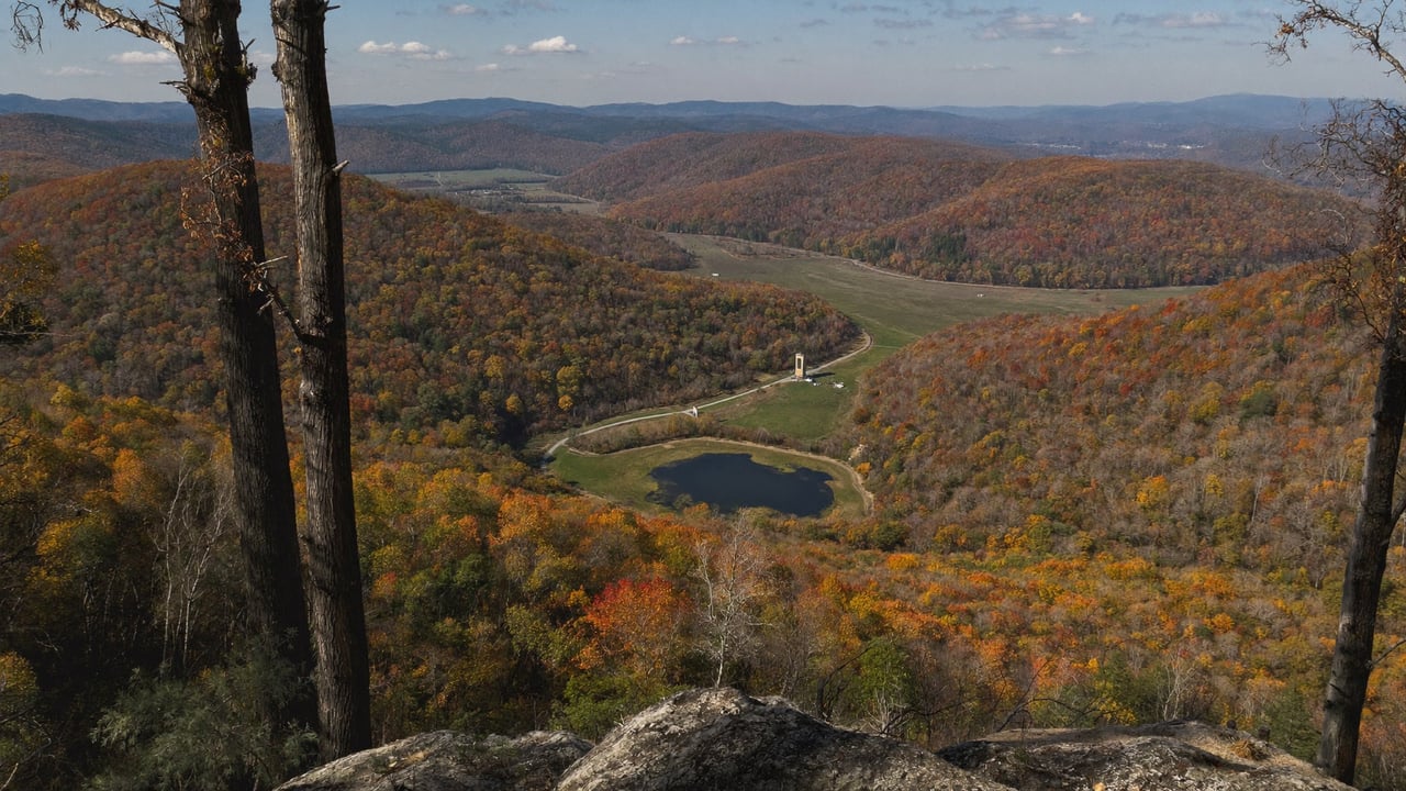
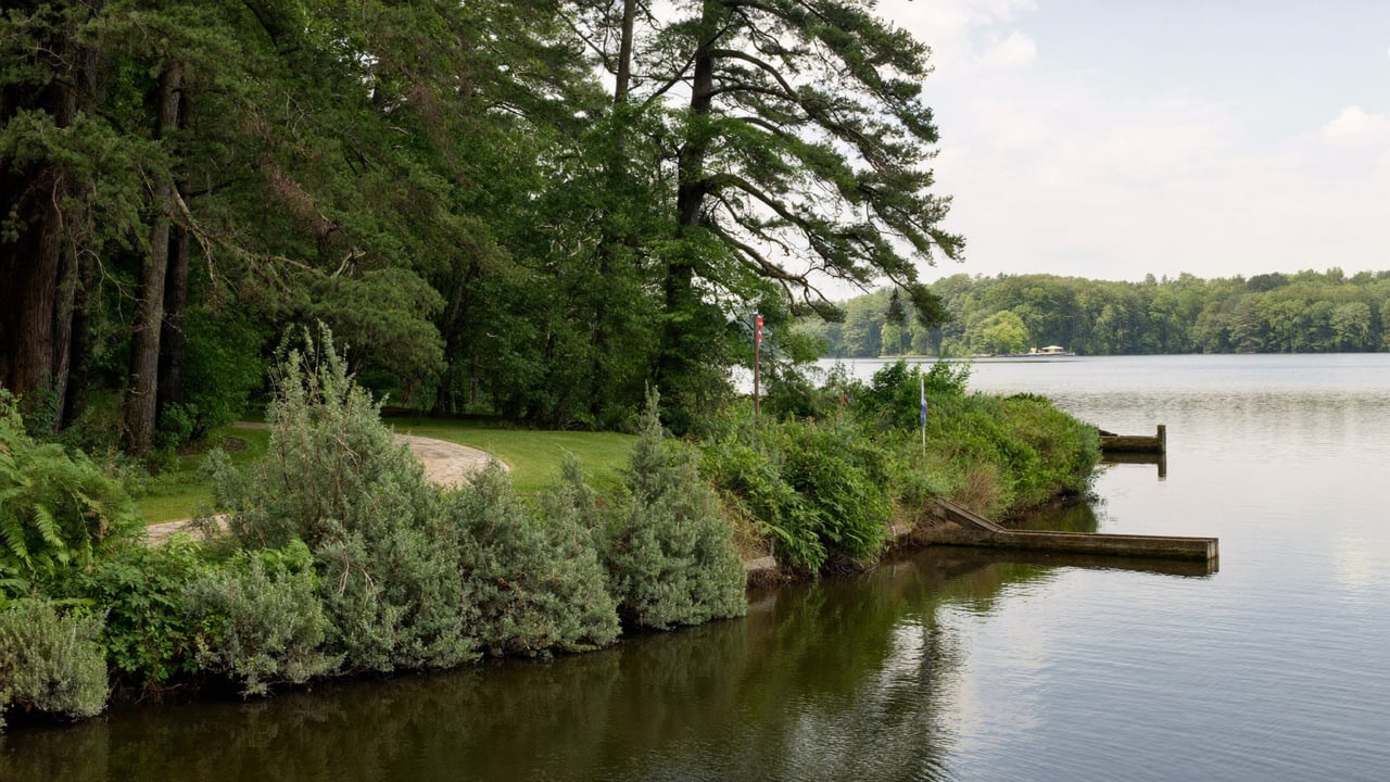
The Lake Lillinonah Authority describes a flooded canyon: formed in 1955 when Connecticut Light and Power closed the Shepaug Dam for hydroelectricity, running 12 miles from New Milford down to the dam, with 45 miles of shoreline of which 43 are wooded, hillsides that rise 200 feet or more from the water, and a maximum depth of 110 feet. That last number makes it the deepest of the lakes this site covers. Six towns border it: Bridgewater, Brookfield, New Milford, Newtown, Roxbury and Southbury, and the Authority is funded by all six to oversee environmental, safety and recreational needs, including a lake patrol that enforces the state's boating laws.
On size, two of the Authority's own pages disagree, so here is both. Its About page says the lake covers 1,900 acres. Its boating page, and DEEP's two launch pages, put it at 1,547 acres from the Bleachery Dam to the Shepaug Dam. The difference is where you start measuring. Either way it is the second largest of the FirstLight lakes, behind Candlewood's 5,420 and ahead of Zoar's 909.
It is also a winter eagle lake. The Authority says as many as 40 bald eagles winter here, feeding in the tailrace below the dam from November to March, and that since 1985 the public has been invited to an observation area near the Shepaug station in Southbury.
The same FirstLight rulebook as Candlewood
FirstLight's Connecticut permits page addresses anyone who owns property "on Candlewood Lake, Lake Lillinonah, Lake Zoar, or along the Housatonic River north of Lake Lillinonah to the Massachusetts border" and sends all of them to one handbook. Everything in who actually owns the shoreline on Candlewood Lake and your Candlewood dock permit does not come with the house applies here: the strip between your deed and the water sits inside a federal project boundary, structures in it need FirstLight authorization, and the permit is issued to the owner rather than running with the land. The proposed update to that plan, and what it changes for fees and seawalls, is in what changes in the proposed Candlewood shoreline plan.
A nine day drawdown, not a five month one
FirstLight's September 16, 2025 notice scheduled the Lillinonah drawdown at the Shepaug Dam to begin October 27, 2025, taking the lake from its normal summer range of 200 to 195.5 feet down to a target of 190.5, with a return to normal operating levels on November 5, 2025. That is a dam inspection window, not a winter. FirstLight still encourages owners to remove structures, boat lifts and docks from the lake to prevent ice or flood damage over the winter, so the dock comes out either way. The Authority runs what it calls a Lake Alert automated voicemail line to give lakeside residents and boaters notice of changing lake levels and of the locations and dates of chemical treatments.
Boating rules, including two dams
The speed limits are Candlewood's: 45 mph in daytime and 25 mph from a half hour after sunset to a half hour before sunrise, per DEEP and the Authority. What is different is the dam exclusions. DEEP prohibits vessels from approaching within 300 feet on the upstream side or 1,500 feet on the downstream side of the Shepaug Dam, and within 300 feet downstream of the Bleachery Dam at the top of the lake. If you are looking at either end, know where those lines fall.
Water quality and invasives: what the state has posted this year
This is the section to read twice, because it is the state talking, not a listing.
DEEP's page for the Pond Brook boat launch in Newtown, last updated August 3, 2026, carries this advisory at the top: "An increased risk of a cyanobacteria bloom has made this area potentially unsafe for water contact." It goes on to describe what to avoid, water that looks like spilled paint, has surface scums or films, is discolored or has colored streaks, or has green globs floating below the surface, and to keep children and pets away from blooms. An advisory posted at one launch is not a verdict on the whole lake, and advisories change week to week. It is a reason to ask what the water near a specific property did in August.
Both DEEP launch pages also carry a warning in capital letters: hydrilla is rapidly spreading throughout Connecticut and has been recently found in this waterbody. That is a different situation from Candlewood, where zebra mussels are in Candlewood, hydrilla is not yet still describes the picture. And the Authority's own alert page says DEEP has confirmed zebra mussels in Lake Zoar and Lake Lillinonah, with the two lakes signed to warn boaters. For an owner, the practical meaning is that the clean, drain and dry routine at the ramp is not optional here, and that the Authority's chemical treatment notices are worth being on the list for.
Public access
- The Bridgewater state launch at 199 Main Street South, on the north shore on the east side of Route 133: year round, 50 paved spaces, a concrete slab ramp, a seasonal floating dock, according to DEEP.
- The Pond Brook state launch at 158 Hanover Road in Newtown, also year round and trailered, the one carrying the August 2026 advisory.
- The Brookfield boat ramp, Newtown's park and George C. Waldo State Park, which the Authority lists as the lake's public access points, plus the eagle observation area in Southbury in winter.
How Lillinonah compares to the other lakes
Same permits, same dock rules and same operator as Candlewood and Zoar; a fall inspection drawdown like Zoar's rather than Candlewood's winter; the deepest water of the four; and, this year, the most explicit state posted water quality and invasive plant notices of any of them. Candlewood, Lillinonah or Bantam sets three of the lakes side by side, Lake Zoar for a second home covers the reservoir directly downstream, and the Lake Lillinonah overview has the town level detail.
Who Lillinonah fits
- A boater who wants deep, quiet water and a FirstLight lake without Candlewood's traffic, and who will pull the dock every fall.
- A buyer who values the shoreline being mostly wooded over marinas and lake communities on every cove.
- Someone who will read the DEEP launch pages and the Authority's alerts before the offer, not after.
What to confirm before you write
- Which of the six towns, and what that town charges and requires.
- Whether a current FirstLight permit exists in the seller's name for the dock and everything else below the project boundary, and a copy of it.
- Where the frontage sits relative to the dam exclusion zones at the Shepaug and Bleachery dams.
- What DEEP and the Authority posted about water quality and invasive plants for the stretch of shore you are considering, over the last two summers.
- Where the dock and lift go in late October, and what the shoreline exposes during the drawdown.
Common questions about Lake Lillinonah
Is Lake Lillinonah under FirstLight's shoreline permit rules?
Yes. FirstLight's Connecticut permits page names Candlewood Lake, Lake Lillinonah and Lake Zoar together and sends owners on all three to the same handbook. Docks and other structures inside the project boundary need FirstLight authorization, and permits are issued to the owner.
How deep is Lake Lillinonah?
Up to 110 feet, according to the Lake Lillinonah Authority, which makes it deeper than Candlewood at about 85 feet and far deeper than Bantam at 26.
When is the Lake Lillinonah drawdown?
In 2025 FirstLight scheduled it from October 27 to a planned return on November 5, from a summer range of 200 to 195.5 feet down to 190.5. Dates change every year; FirstLight publishes the notice each September, and the Authority's Lake Alert line carries level changes.
Is there a water quality advisory on Lake Lillinonah?
As of its August 3, 2026 update, DEEP's Pond Brook launch page in Newtown said an increased risk of a cyanobacteria bloom had made that area potentially unsafe for water contact. Advisories are location specific and change; check the DEEP launch pages and the Authority's alerts for the current status.
Are there invasive species in Lake Lillinonah?
DEEP's launch pages state that hydrilla has been recently found in this waterbody, and the Authority's alert page says DEEP has confirmed zebra mussels in Lake Lillinonah and Lake Zoar. Clean, drain and dry at every launch.
How big is Lake Lillinonah?
The Authority's About page says 1,900 acres; DEEP and the Authority's boating page say 1,547 acres from the Bleachery Dam to the Shepaug Dam. It runs 12 miles from New Milford to the dam with about 45 miles of shoreline.
Sources: Lake Lillinonah Authority, About, FAQs, Patrols and Recreation, Lake Alert and Zebra Mussel Alert pages (towns, 1955, dimensions, depth, shoreline, eagles, observation area since 1985, patrol, speed limits, 1,547 and 1,900 acre figures, Lake Alert line, zebra mussel confirmation). Connecticut DEEP, Lake Lillinonah Boat Launch Bridgewater page (199 Main Street South, 1,547 acres, dam distances, speed limits, 50 spaces, ramp, hydrilla warning, updated May 9, 2025) and Lake Lillinonah Pond Brook Boat Launch page (158 Hanover Road, Newtown, cyanobacteria advisory, hydrilla warning, updated August 3, 2026). FirstLight, Connecticut permits page and the September 16, 2025 drawdown notice (dates, elevations, removal of docks and lifts).
Related reading: the state launches as printed in the 2026 Connecticut Boaters Guide, the four kinds of Candlewood waterfront, Bantam Lake for a second home, and what it actually costs to own a Candlewood lake house.
If you are weighing Lillinonah against Candlewood or Zoar and want the rulebook and this year's state notices laid out before you tour, reach me through ConnorCTHomes.com.
Connor Kostyra, Licensed Real Estate Salesperson, CT Lic. RES.0836348.
Connor CT Homes is a marketing brand. Real estate services are provided through RE/MAX Rise, 1297 Main Street, Watertown, CT 06795.
This article is general information about a hydroelectric reservoir, not legal advice and not a substitute for a survey, a title search or a conversation with the town land use office. Lake figures are the publishing bodies' own, including where they differ. Drawdown dates are from FirstLight's 2025 notice and change every year. Water quality advisories are location specific and change week to week; check the current DEEP and Authority notices before relying on anything here.