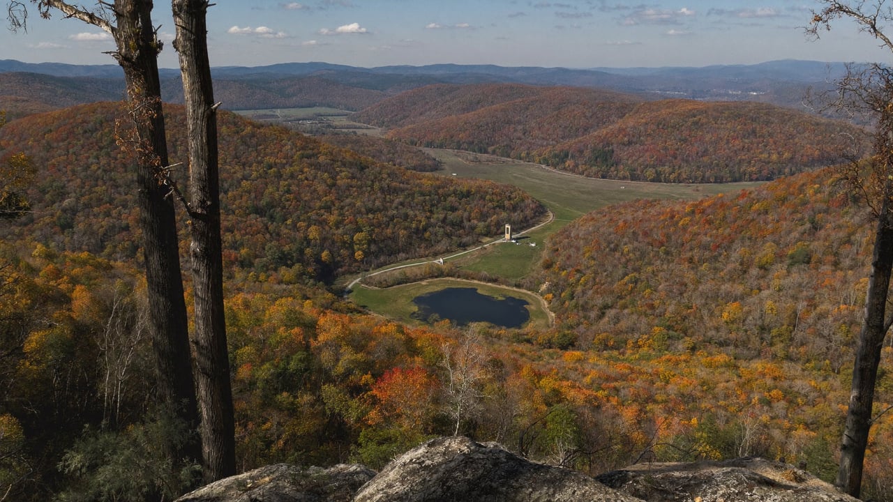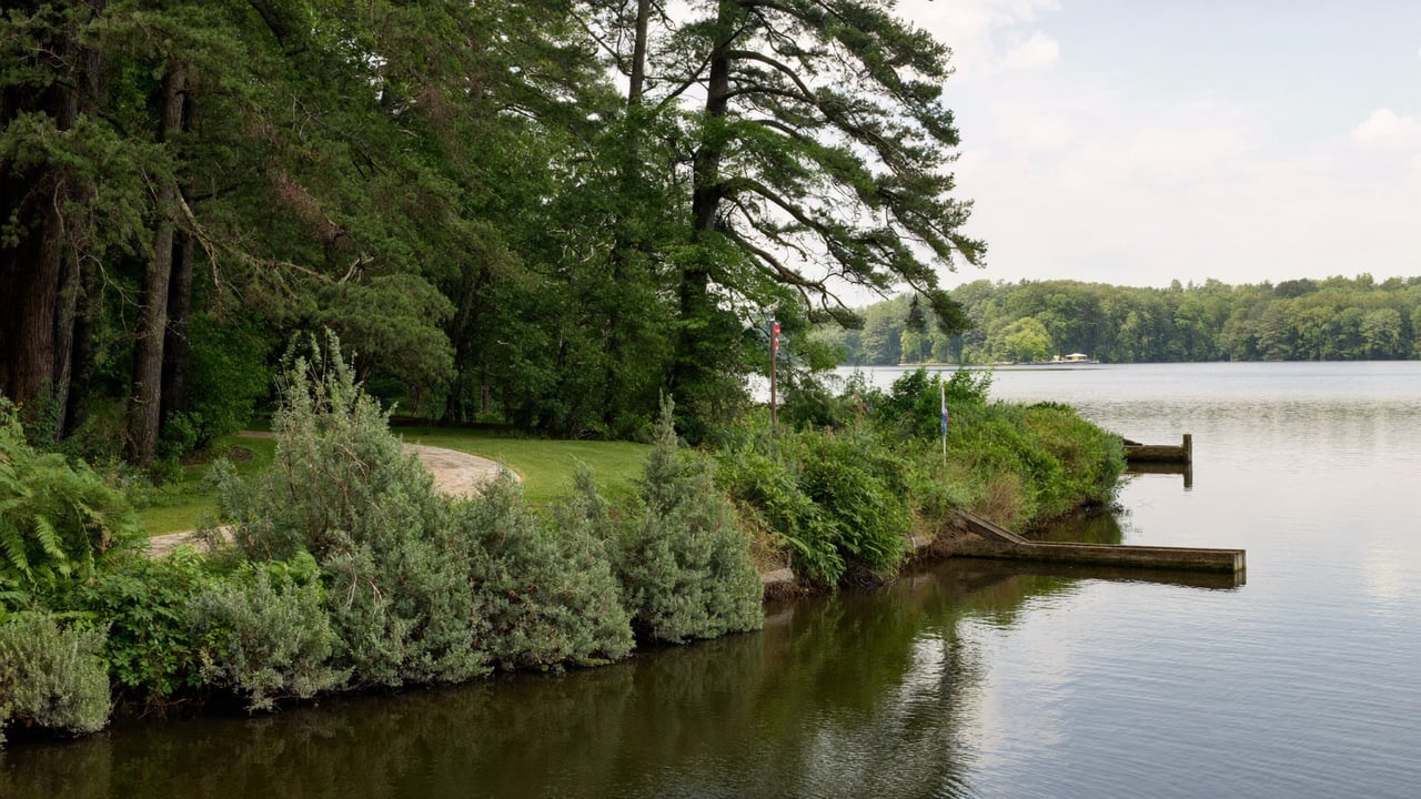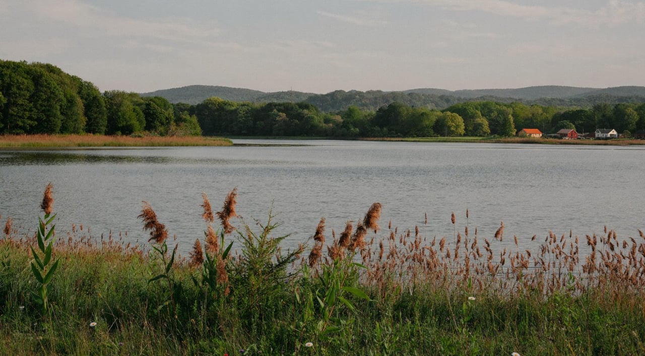
Every other lake this site covers sits behind a FirstLight dam. Bantam Lake does not. It is the largest naturally formed freshwater lake in Connecticut, in the words of the state's Department of Energy and Environmental Protection, and buying on it means trading one set of questions for another. There is no Project Boundary between your deed and the water, no utility permit for the dock, and no operator drawing the lake down in the fall. What replaces them is the town, the state, a foundation that owns most of the shore, and a water quality program you should learn to read before your first August.
Every figure below comes from the body that publishes it: DEEP, the White Memorial Foundation, the Bantam Lake Protective Association, the Town of Morris and the Sandy Beach Commission.
What Bantam Lake is
DEEP's Bantam Lake fact sheet puts it at about 947 acres in the towns of Morris and Litchfield, with a maximum depth of 26 feet and an average of 14.7. That depth is the number to keep in mind. Candlewood averages about 29 feet and reaches 85; Lillinonah reaches 110. Bantam is a shallow, warm, natural lake, and much of what follows comes from that.
The shoreline is the other defining fact. Alain and May White set out in 1913 to acquire and preserve all of the land around the lake, and the White Memorial Foundation they created, now about 4,000 acres of forest, fields and wetlands, holds roughly 60 percent of Bantam's shoreline. That is why the lake still looks the way it does, why buildable frontage is scarce, and why the pool of houses for sale is smaller and quieter than on the big reservoirs.
What changes when there is no FirstLight
FirstLight's Connecticut permits page addresses owners "on Candlewood Lake, Lake Lillinonah, Lake Zoar, or along the Housatonic River north of Lake Lillinonah to the Massachusetts border." Bantam is not on that list, and three things follow.
- No federal hydro licensee between your deed and the water. On Candlewood the strip below the deeded line inside the Project Boundary belongs to FirstLight, which who actually owns the shoreline on Candlewood Lake explains. On Bantam there is no such boundary. Where your land ends is a question for your deed and a survey, and shoreline work is a question for the Morris or Litchfield land use office and state law rather than for a utility.
- No operator permit issued to the owner rather than the property. The rule that drives your Candlewood dock permit does not come with the house is a FirstLight rule. It does not apply here. What approvals an existing dock carries, and from whom, is something to ask the town, not the listing.
- No managed drawdown. Candlewood loses several feet every winter on a schedule the operator announces each September; Lillinonah and Zoar drop for a few days of dam inspection each fall. Bantam is not drawn down for power at all. The Protective Association publishes a water level monitor, and the lake freezes as a natural lake does, which is why ice boating is a Bantam tradition rather than a Candlewood one.
The rules that do apply on the water
DEEP's launch page lists a 6 mph limit in Nick's Cove and no motors between 11 p.m. and 5 a.m. The Protective Association adds a third lake specific rule: no towing sports within 150 feet of shore. The White Memorial Foundation notes that motor boats are allowed on the lake but no internal combustion engines are allowed on the Bantam River. Connecticut's statewide boating rules sit on top of all of that, including the Safe Boating Certificate, which reaches anyone who owns real property in the state.
Water quality: how to read the stoplight
This is the section that matters most on a shallow, warm lake, and the Bantam Lake Protective Association makes it unusually easy to follow.
The Association publishes a Cyano Bloom Watch it calls the stoplight. Its consultants sample three spots on the lake, Center Lake, Point Folly and South Bay, every two weeks from May through October, and rate the risk of a harmful cyanobacteria bloom by visual clarity and cell counts. In the Association's own words: green means the risk of harmful cyanobacteria blooms is low; yellow means low to moderate, and the public should exercise caution and avoid contact with water that is visibly discolored; red means moderate to high. The cell count bands it uses are 0 to 20,000 cells per milliliter for lowest risk, 20,000 to 100,000 for moderate, and above 100,000 for highest.
The reading as this was written: the Association's update of August 31, 2026 said that based on cell concentrations and other water quality characteristics measured that day, risk to the public from cyanobacteria and harmful algal blooms was low, consistent with the state's Visual Rank Category 1, meaning no evidence of a bloom. That is a good reading. It is also one reading, in one week, and the point of the stoplight is that it changes.
Behind the stoplight sits a longer story. DEEP's draft fact sheet for a Bantam Lake nutrient Total Maximum Daily Load, the state's pollution budget for a lake, says Bantam is on Connecticut's 2020 list of impaired waters for recreational use, with causes that include chlorophyll-a, excess algal growth and nutrient and eutrophication indicators. The watershed that feeds the lake includes Bethlehem, Goshen, Litchfield, Morris, Washington and Torrington. A buyer does not need to read the whole document. A buyer does need to know that the state has a plan for this lake's nutrients, that the Association tracks the result every two weeks, and that the history is public.
Invasive plants, and one unusual constraint
The Association's invasive species page reports Eurasian milfoil in North Bay and Nick's Cove, treatable with herbicide but difficult here because of its proximity to the endangered water marigold. Hydrilla, the plant that has spread down the Connecticut River, is listed as currently not seen in Bantam Lake, with no known treatment and prevention as the only defense. That is why the Association asks every boater to clean, drain and dry, and why a buyer looking at frontage in North Bay or Nick's Cove should ask what the weed situation has been in August.
Public access, and what is actually public
- The state boat launch at 16 Palmer Road in Morris, open year round with 20 spaces and a paved ramp, according to DEEP. Trailer boaters can also launch at the White Memorial campground on North Shore Road, and paddlers can put in on the river at the North Shore Road and Alain White Road bridges, according to the Protective Association.
- Sandy Beach is, in the Association's words, the only beach open to the general public on Bantam Lake. It is run by the Sandy Beach Commission, made up of members from Litchfield and Morris, opens on Memorial Day weekend and runs through Labor Day weekend, has lifeguards, a picnic area and a concession stand, and charges an entrance fee. Daily and season passes are sold at the beach and at the Morris and Litchfield town halls.
- Morris Town Beach at 83 East Shore Road is the town's own beach, with parking permits processed through the Morris Town Clerk. Ask the town whether a given property qualifies.
- Point Folly Family Campground, on a peninsula in the lake, has 47 sites according to the Association and is White Memorial's.
Who Bantam fits
- A buyer who wants a natural lake and a protected shoreline more than a marina and a slip on demand.
- A paddler, sailor, angler or ice boater more than a wake boat owner, given the shore distance rules and the shallow, warm water.
- Someone who will read a water quality report the way a Candlewood buyer reads a drawdown notice.
What to confirm before you write
- Which town, Morris or Litchfield, and what that town charges and requires. Two towns, two land use offices.
- Where your land actually ends, from the deed and a survey, and whether the frontage abuts White Memorial land.
- What approvals the existing dock and shoreline structures carry, from the town land use office and, where state permits apply, DEEP.
- The stoplight history for the nearest sampling site over the last few summers, and whether the frontage is in a milfoil area.
- Winter. What the ice does to the dock, and where it goes in October.
How Bantam compares to the FirstLight lakes
Candlewood, Lillinonah or Bantam sets the three side by side, and Lake Zoar for a second home covers the third FirstLight reservoir. The Bantam Lake overview has the town level detail.
Common questions about buying on Bantam Lake
Does Bantam Lake have a FirstLight permit requirement?
No. FirstLight's permits page covers Candlewood Lake, Lake Lillinonah, Lake Zoar and the Housatonic River north of Lillinonah. Bantam is a natural lake with no hydro operator. Shoreline approvals come from the town, Morris or Litchfield, and from the state where state permits apply.
Is Bantam Lake drawn down in winter?
Not for power. There is no announced drawdown the way there is on Candlewood, Lillinonah and Zoar. The Bantam Lake Protective Association publishes a water level monitor, and the lake freezes as a natural lake does.
What is the Bantam Lake stoplight?
The Protective Association's cyanobacteria advisory. Consultants sample three sites every two weeks from May through October and rate bloom risk green, yellow or red by visual clarity and cell counts. The August 31, 2026 update rated the risk low, with no evidence of a bloom.
Can the public swim in Bantam Lake?
At Sandy Beach, which the Protective Association describes as the only beach open to the general public, from Memorial Day weekend through Labor Day weekend, with an entrance fee and lifeguards. Morris Town Beach is the town's own beach with permit parking.
How deep is Bantam Lake?
DEEP puts the maximum at 26 feet and the average at 14.7, across about 947 acres. It is far shallower than Candlewood or Lillinonah, which is part of why water quality gets more attention here.
Who owns the shoreline?
The White Memorial Foundation holds roughly 60 percent of it, by its own account, as the result of a preservation effort that began in 1913. The rest is private land in Morris and Litchfield, and where a given lot ends is a deed and survey question.
Sources: Connecticut DEEP, Bantam Lake Boat Launch page (947 acres, 16 Palmer Road, 20 spaces, paved ramp, year round, Nick's Cove limit, night motor restriction), draft Bantam Lake nutrient TMDL fact sheet (largest naturally formed freshwater lake, Morris and Litchfield, 26 and 14.7 foot depths) and Bantam Lake watershed page (watershed towns). White Memorial Conservation Center, Our Property page (1913, 4,000 acres, 60 percent of the shoreline, motor rules on the Bantam River). Bantam Lake Protective Association, Cyano Stoplight, Recreation, Aquatic Invasive Species and Our Mission pages (stoplight definitions and thresholds, sampling sites and schedule, August 31, 2026 reading, towing rule, launches, Sandy Beach, Point Folly, milfoil and hydrilla status). Sandy Beach on Bantam Lake site (passes and season). Town of Morris, Beach and Recreation page (Morris Town Beach address and permits). FirstLight, Connecticut permits page (the lakes it covers).
Related reading: Mount Tom State Park as the state describes it, the state launches as printed in the 2026 Connecticut Boaters Guide, the four kinds of Candlewood waterfront and what it actually costs to own a Candlewood lake house, and Lake Waramaug for a second home, the other large natural lake in Litchfield County, with a very different rulebook.
If you are deciding whether a natural lake or a FirstLight reservoir is the right fit, and want the rulebook for each laid out before you tour, reach me through ConnorCTHomes.com.
Connor Kostyra, Licensed Real Estate Salesperson, CT Lic. RES.0836348.
Connor CT Homes is a marketing brand. Real estate services are provided through RE/MAX Rise, 1297 Main Street, Watertown, CT 06795.
This article is general information about a natural lake, not legal advice and not a substitute for a survey, a title search or a conversation with the town land use office. Lake figures are the publishing bodies' own. The water quality reading quoted is a single date and changes week to week; check the current stoplight before relying on anything here.